

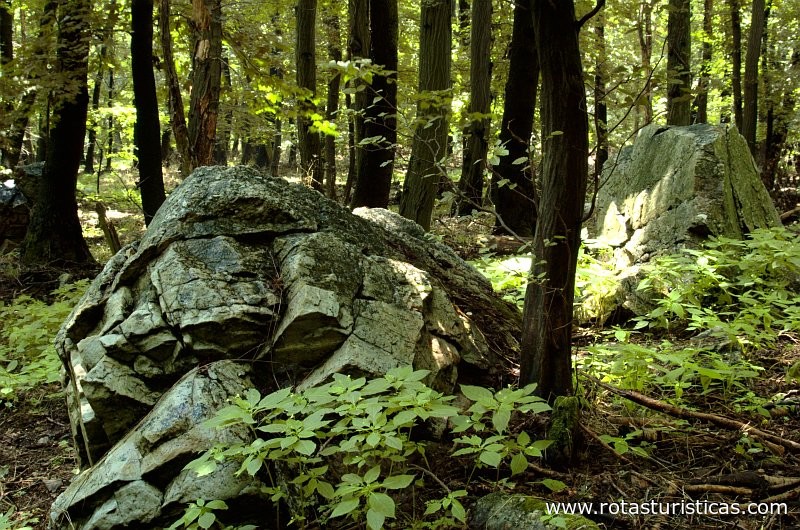
Devín Carpathians (Slovak: Devínske Karpaty) is a subdivision of the Little Carpathians mountain range, located entirely within Bratislava, the capital of Slovakia. It is bordered by the city boroughs of Devín from the west, Devínska Nová Ves from the north, Dúbravka from the east and Karlova Ves from the south. Its highest mountain is Devínska Kobyla at 514 m (1,686 ft) AMSL, it is also the highest point in Bratislava. The hills are mostly forested with deciduous trees and most of the area is protected by numerous nature reserves, including two geologically important areas: Sandberg containing sands and sandstones from the Cenozoic Paratethys ocean and Jezuitské Lesy containing rare granitic pegmatite bearing niobium-tantalum oxide minerals.
Devín Carpathians are famous for its castles, most notably the Bratislava Castle and the ruins of Devín Castle. The mountains feature numerous cultural monuments, caves, tramping huts, an open-air geology museum and a chemical waste dump. Military structures in the mountains include an abandoned rocket base and preserved artillery fortifications from the time of Austria-Hungary. Featuring a dense network of forest trails, Devín Carpathians together with Bratislava Forest Park are frequented by citizens of the city and provide their main venue for hiking, mountain cycling, cross-country skiing and dog walking.
he boundary of Devín Carpathians consists of the Slovak-Austrian border in the middle of the Morava and Danube rivers from the west, the road connecting Devínska Nová Ves and Dúbravka from the north, the road connecting Dúbravka with the crossing at Patrónka from the north-west and east, and Mlynská dolina from the south. The mountain range is located entirely within the administrative boundaries of Bratislava.
Devín Carpathians consist of Paleozoic era landforms (south-eastern part), Mesozoic era landforms, Cenozoic era landforms, the latter including Quaternary period landforms.[3]
There are 5 caves in Devín Carpathians: Abrázna cave, J06041401 cave, J06041402 cave, Medzivrstvová cave (original name Zlepencová jaskyňa) and Štokeravská vápenka cave (original name Stockerau). Abrázna cave is a 10 meters long karst cave. Abrázna cave was created as a result of coastal modelling by a prehistoric Cenozoic sea and like all of the others, it is inaccessible to the public. It is supposedly the westernmost cave in Slovakia, although actually it is rather the J06041401 cave. None of the caves are open to the public.
Notable rivers originating in the Devín Carpathians include Čierny potok and Mokrý jarok (also called Mokrý potok), the latter is a short stream originating at the Devínska Kobyla mountain, draining its south-eastern part. It flows into the Danube near the quarry at Devínska cesta Street, near island Sihoť.
| Partilhado por: Cristina novais | Ainda Sem comentários |
| Visualizações: 5454 | |
Partilhe os locais de interesse a serem visitados, locais que visitou nas suas férias, ou locais na sua terra que pretenda promover.
Coordenadas GPS
Lat : 48.189837340869815 - Lon : 16.983189582824707
N48° 11' 23.414427131334 " E16° 58' 59.482498168945"
Comentários
Ainda não tem comentários para
Devín Carpathians (Bratislava)
Se conhece Devín Carpathians (Bratislava) Deixe o seu comentario
Devín Carpathians (Bratislava)
Se conhece Devín Carpathians (Bratislava) Deixe o seu comentario
OBRIGADO